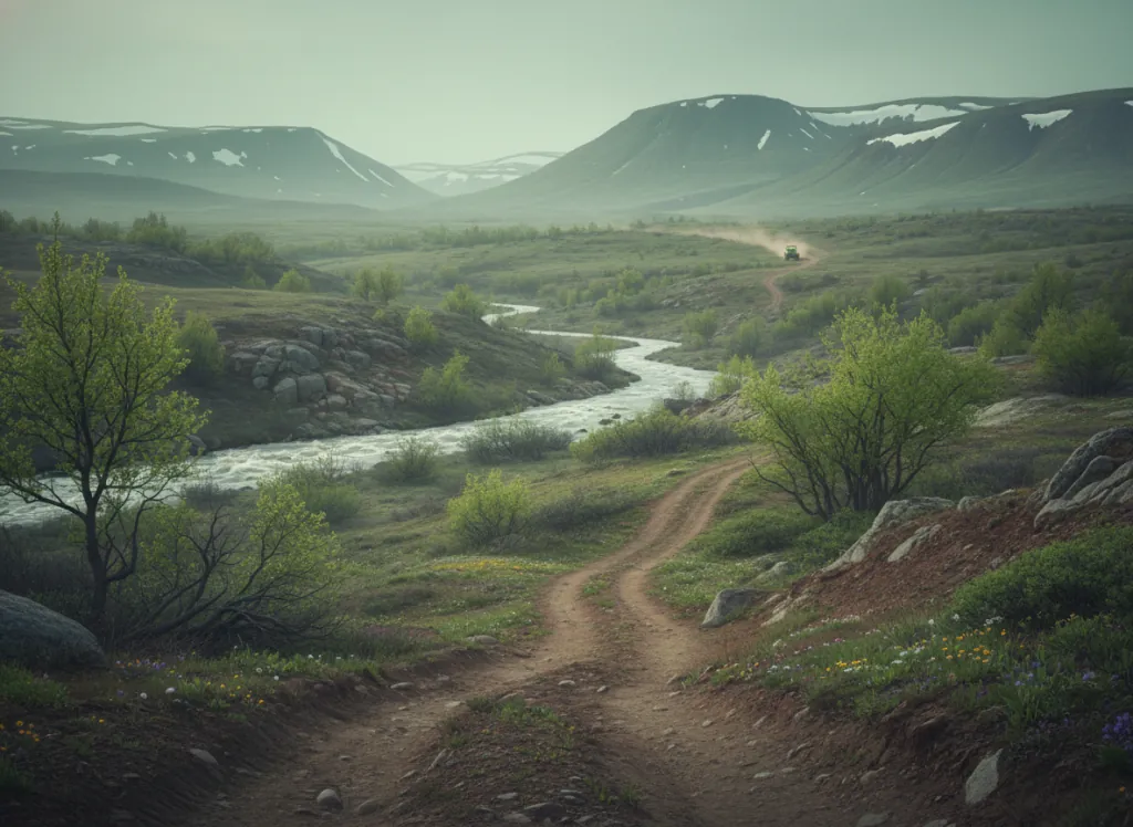
The Fires Creek OHV Area is a Forest Service-designated off-highway vehicle system within the Tusquitee Ranger District of the Nantahala National Forest in Clay County, North Carolina: the extreme southwestern corner of the state where NC, Georgia, and Tennessee converge in the Blue Ridge Mountains near the community of Hayesville. The trail system follows the ridges and drainages of the Fires Creek watershed in the Tusquitee Mountains, a sub-range of the Blue Ridge characterized by the dense southern Appalachian hardwood forest (tulip poplar, sugar maple, black cherry, yellow birch, basswood, and the cove hardwood communities that flourish in the sheltered hollows), and the clear mountain streams that carved the deep hollows giving Fires Creek its name. The OHV network threads through approximately 25 miles of designated trail on old logging roads and purpose-built ATV corridors that navigate the watershed's ridge and hollow topography, with elevations ranging from around 1,800 feet in the lower creek bottoms to over 4,000 feet on the upper ridge traversals. Trail character is moderate Appalachian mountain: sustained grades on the ridge climbs, rocky creek crossings, and tighter forested corridors on the hollow descent routes. ATVs, UTVs, and off-highway motorcycles are permitted on designated OHV routes; no day-use fee or permit is required for National Forest riding in North Carolina. The adjacent Fires Creek Bear Sanctuary to the north protects old-growth habitat and is closed to OHV use. Primitive camping is available throughout the surrounding national forest under standard 14-night limits. The Tusquitee Ranger District office in Hayesville (828-837-5152) manages current trail status and seasonal closures for the Fires Creek system.
Hours
Open year-round on designated OHV routes; upper elevation trails may close temporarily under snow. No day-use fee or OHV permit required on National Forest land.
Phone
828-837-5152Trip openings, seasonal updates, and the occasional deal, straight to your inbox.
FAQ
Everything you need to know before you get started.
Have a question, or ready to book? Reach out and we’ll get right back to you.